OCCASIONALLY IT BECOMES NECESSARY TO CHANGE THE PLANNED HIKE AT THE LAST MINUTE. PLEASE BE SURE TO CHECK THE WEBSITE ON THE DAY OF THE HIKE
TUESDAY OCTOBER 20, 2026
Description: PANTHERTOWN WEST
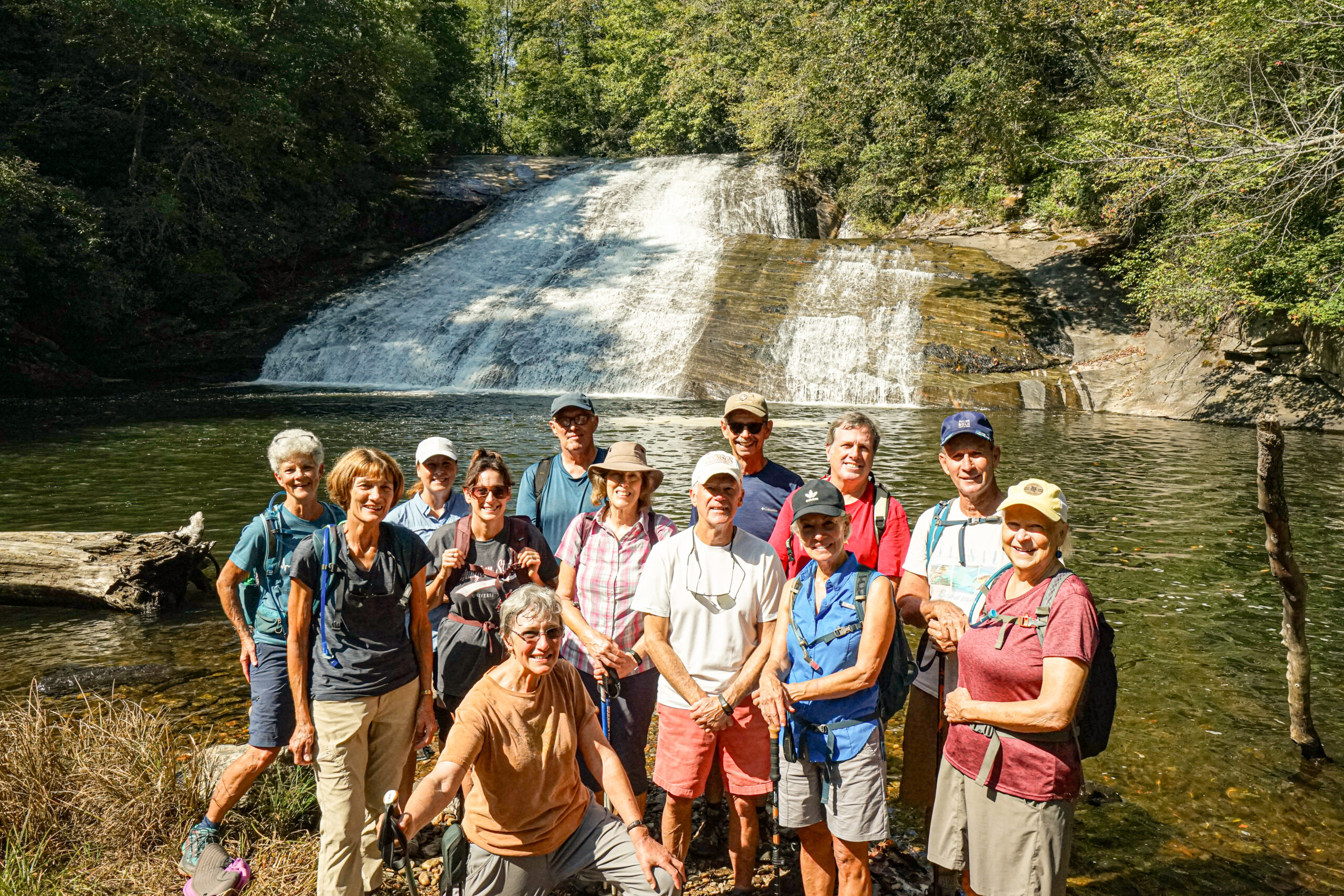
Panthertown, “the Yosemite of the East” deserves that appellation for its multiple, fast rising gneiss mountains, rock walls and stream filled valleys… home for some 20 named waterfalls. Linking this treasure is a spider’s web of dozens of interlaced trails…now better marked…but still deserving of extra caution at junctions with map in hand. We will start from the Saltrock Trailhead on the west side of the 10,000 acre tract. It includes the Blackrock, Overlook, Carlton’s, North Rd, Wardens, Devil’s Elbow, Little Green, Schoolhouse and Panthertown Valley trails. We usually do about 7-8 miles and a few decent elevation gains. We can mix up the trails from usual routes if hikers choose to do so.
See link for more details.
Directions: (GPS: 35.165286, -83.049344) Gather and pool separately from either KKEPA or Walhalla. Both groups depart at 830am. Reassemble at Sloan Bridge Picnic Area (on SC107 just north of its Wigington Rd intersect) for a 915A restart from there. See more details on the link. Also, Home page has directions to Sloan Bridge Picnic Area on lower left hand side.
Directions: Click here for direction
THURSDAY OCTOBER 22, 2026
Description: LOWER WHITEWATER FALLS from BAD CREEK
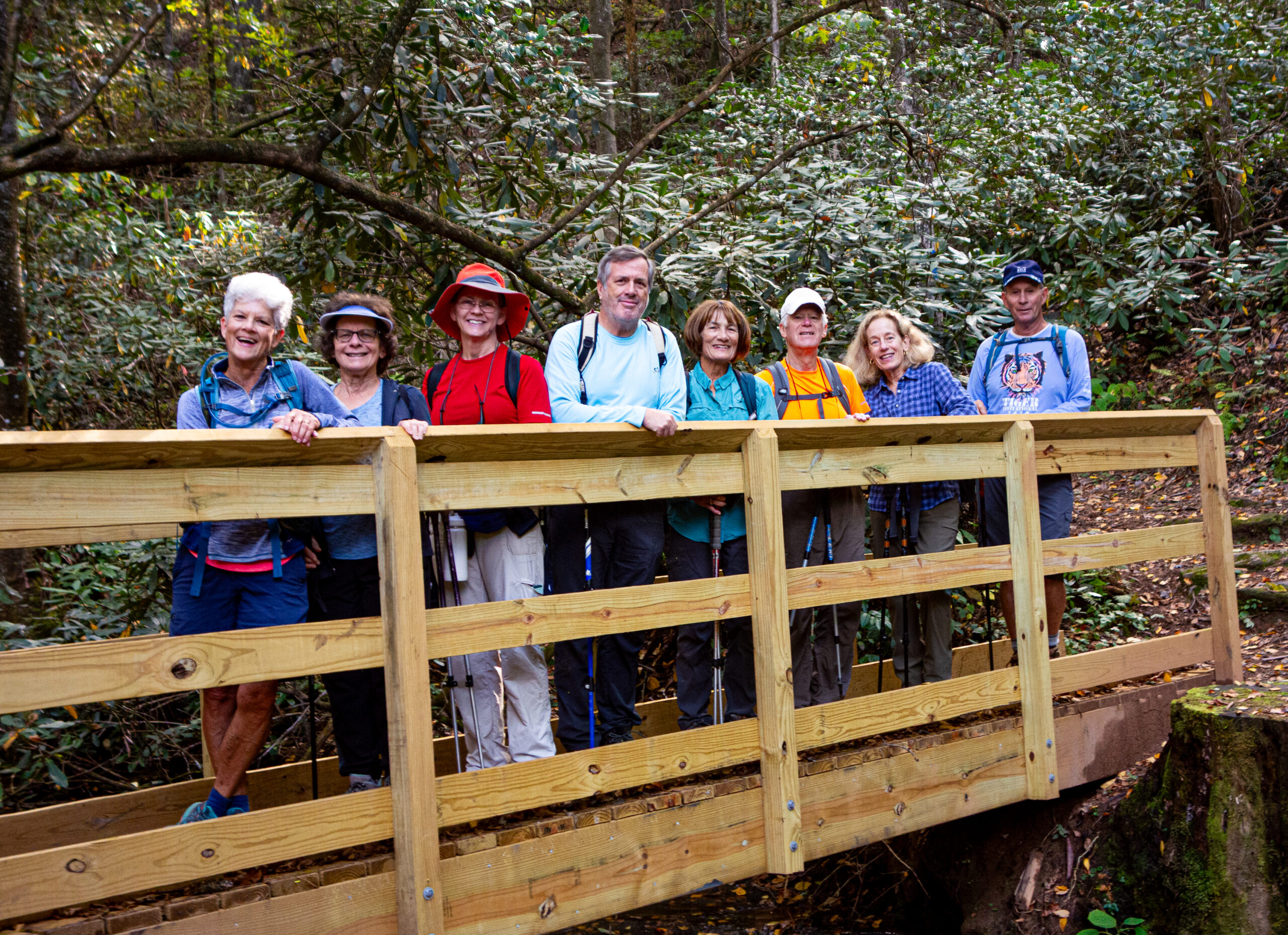
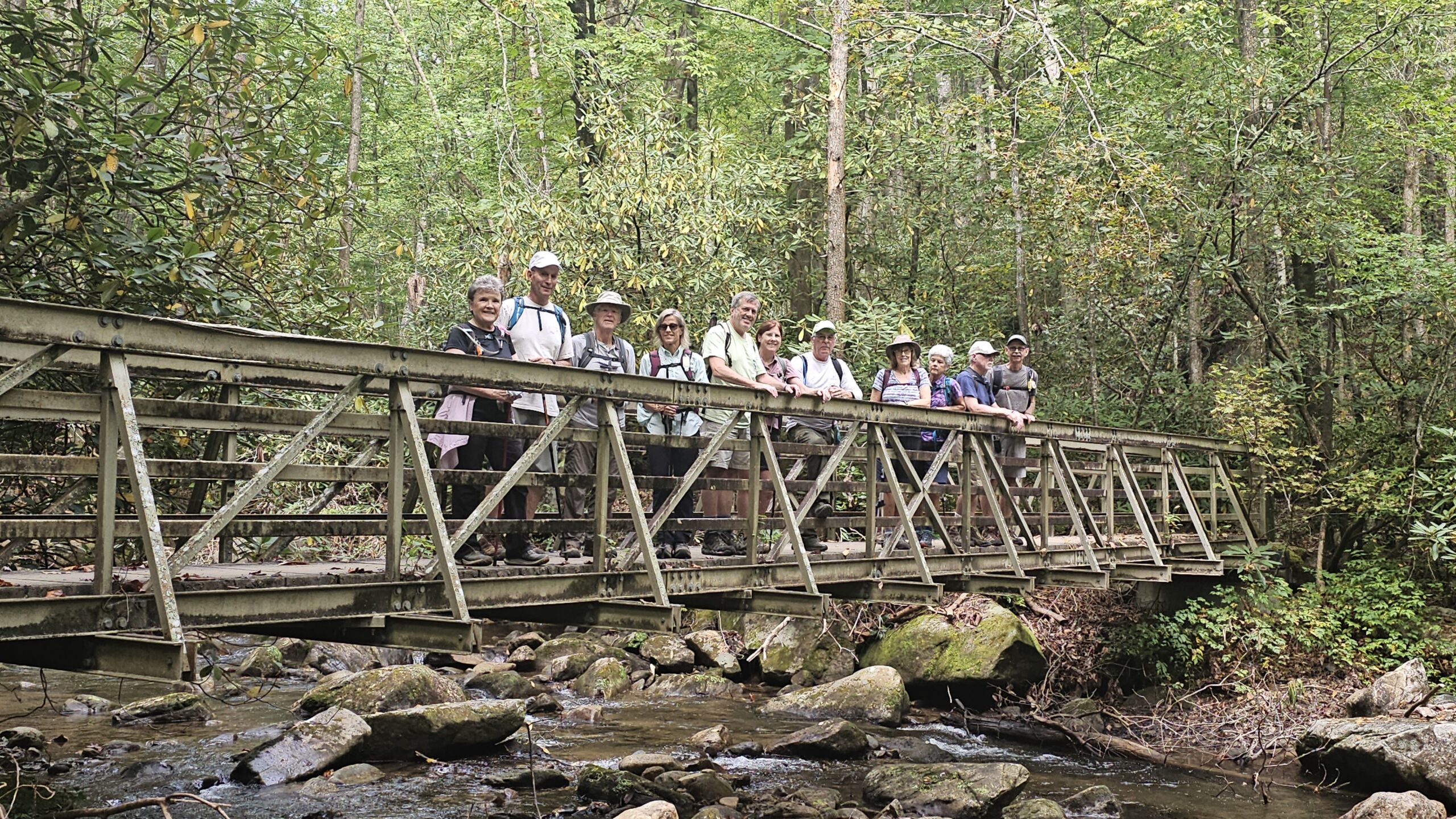
Lower Whitewater Falls, 200 ft tall, though half the height of the better known upper falls, is also a dramatic, picture postcard landmark complete with viewing platform. It is accessed via a moderate four mile hike, in and out from the Duke Power Bad Creek facility. From the parking area we head out and up behind the kiosk, first through open field, then into steeper, rolling forest which includes stairways and two iron bridges where we often have lunch on returning from the falls. An easier, less scenic return option to the parking area is available via a forest service road. Last time we did this there was a lot of fog and fallen trees that added some extra exercise.
See below link for complete details.
Directions: (GPS: 35.012014, -82.999672) Gather, pool and depart at 8:45am from KKEPA. Reassemble at the Bad Creek parking area, which is 2 miles past Duke’s automatic gate (located 10 miles north of SC11 on SC130). There are no fees and there are porta-potties at the trailhead. Some hikers go direct to Bad Creek in time for a 9:30A hike start from there. Expect to return by 230P.
Directions: Click here for direction
=======================
BRR Library
Planning to do some hiking on your own? You can borrow a book from our hiking library. The library offers many different books about hiking in NC, SC, and GA. From our home page click on “Resources”. The bottom half of the page lists the different books available. A big thanks to those who donated to the library: Nancy Carkhuff, Michael Gauderer, Bill Ebeling, and others. To request a book contact the librarian at: brrhiker@gmail.com.